Davinci‑AI’s website now lists GeoScan AI as a production capability: an automated, contactless raw‑material exploration agent that “analyses spectral data from the European Copernicus Sentinel‑2 mission to detect minerals and rock structures.” This positions a commercial multi‑agent AI player squarely into the upstream side of the battery supply chain — a subject of intense interest for carmakers, recyclers and policy makers in Germany and Austria.
How GeoScan works — and what it can (realistically) find
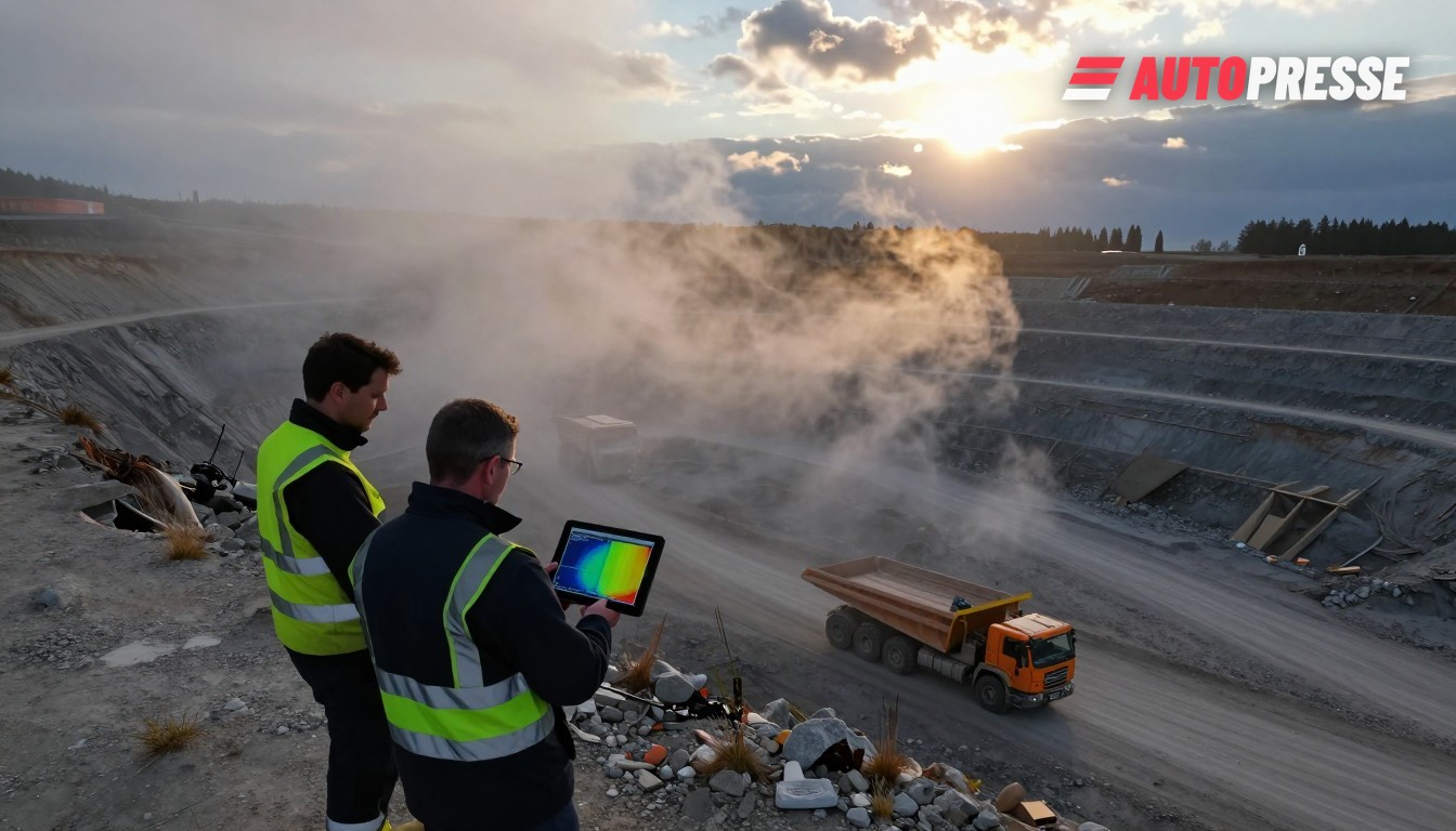
GeoScan is presented as a rapid reconnaissance layer: multispectral Sentinel‑2 imagery is processed into spectral indices and prospectivity fingerprints, then fed to the platform’s agent mesh for automated mapping and reporting. The company pitches this as a way to screen large areas “in minutes, not weeks”.
Remote‑sensing and academic literature show multispectral sensors such as Sentinel‑2 are increasingly useful for mapping hydrothermal alteration and surface mineral signatures (ferrous silicates, clay minerals and silica‑rich zones) — especially in arid or sparsely vegetated terrain — but results are reconnaissance‑level and require ground truthing and higher‑resolution or hyperspectral follow‑up for any commercial mining decision. Peer‑reviewed studies and reviews underline both potential and limits of multispectral mineral mapping.
What this means for the market
Why automakers and battery players in Germany and Austria should care: Europe still depends heavily on imported processed battery materials, and building resilience includes both recycling and finding local sources or secure upstream partners. Transport & Environment’s modelling (December 2024) highlights the shortfall in Europe’s mid‑stream processing (cathode active material and precursors) and the need to close raw‑material loops through recycling and regional supply chains — a context that makes any scalable, low‑cost prospecting tool interesting.
For OEMs, Tier‑1s and recyclers the immediate opportunity is reconnaissance and monitoring: satellite‑based prospecting can prioritise zones for geological follow‑up, monitor surface disturbance and tailings changes, and speed early‑stage desktop studies — potentially shaving months off sourcing and permitting workflows. Davinci‑AI markets GeoScan as exactly this kind of pre‑screening layer.
But there are strict technical and legal caveats. Satellite outputs are “surface spectral anomalies” and not resource estimates: providers and terms of service explicitly warn results do not replace drilling, sampling or JORC/NI‑43‑101‑style reserve statements. Dense vegetation, soil cover and sensor resolution limit detectability; atmospheric and processing artefacts can produce false positives that must be validated on the ground. Users must therefore treat GeoScan as a prioritisation tool, not a mining licence.
For Germany and Austria the commercial test will be organisational: can OEM procurement, recycling operators and geological services integrate satellite AI outputs into established technical due‑diligence workflows? If successful, satellite‑first screening can speed local recycling feedstock mapping, catch early tailings issues and help companies demonstrate due‑diligence under EU battery and critical‑raw‑materials rules. If misused as a substitute for field verification, however, satellite leads could misdirect investment and raise compliance risk.
Electric vehicle listings on WorldTrader24 →
Sources: DaVinci AI (davinci‑ai.ai), Transport & Environment, Farmonaut Mining Pro (terms), review of machine‑learning for mineral exploration.